
Lincoln Neighbors Around a Block
Public sources around a Lincoln address describe land, transactions, a named voter, or a voluntary civic contact. None serves as a definitive roll of every neighbor. Begin with the map because it defines which parcels actually touch the target. Move to the property card for the assessed owner and tax mailing address, then use recorded documents only for the land transaction they document. A mailing address may belong to a family member, representative, lender, or business, so it should never be treated as proof of who is physically present.
| Source | What it shows about a block | Access |
|---|---|---|
| GIS parcel viewer | Target and adjoining parcel geometry, addresses, PIDs, boundaries, and map layers | Public viewer |
| Orion property card | Assessed owner, tax-mail address, legal description, value, status, exemption, and sales | Public property portal |
| Tyler documents | Recorded deeds, liens, grantors, grantees, dates, and instrument references | Public index; image access varies |
| VoterView | One named registration and polling information, if available | Name and county lookup |
| Reverse directories and Sanborn maps | Dated address listing or building and lot context | Library collections |
For Lincoln neighbors, the distinction between owner and occupant matters. The parcel card establishes a land-and-tax relationship. It may suggest a contact path, but only independent, lawful evidence can support a more limited current-residency conclusion.
Map a Lincoln Neighboring Parcel
The Lincoln and Lancaster County GIS Viewer is the right first tool for the immediate block. Search or zoom to the address, then turn on Parcels, Addresses, and Parcel ID labels. Click the target polygon and note its PID, lot or block, subdivision, and jurisdiction. Pan to polygons that actually touch it, rather than relying on house numbers alone. An alley, outlot, shared access, condominium parcel, or second lot can make a close-looking address a poor match.
- Locate the target address and select its parcel. Record the PID and legal description shown with the map feature.
- Click each touching parcel, comparing the lot, block, subdivision, parcel lines, and aerial image as you move outward.
- Open each PID in Orion for the assessed owner, tax-mail address, property status, exemption, value, sales, and legal description.
- Use the owner or legal description in the Tyler recorder index for a deed or lien trail. For an entire frontage, use Orion's Street Name with a number range, then return to GIS to verify the visual sequence.
The flow is address → target PID → adjoining parcel PIDs → Orion owner fields → recorded instruments. GIS geometry is a locator, not an authoritative ownership statement. For the full length of a road, use the Lincoln street directory workflow instead of extending a block check too far.
Lincoln Neighbor Map Layers
Map layers add context to a group of parcels. The GIS viewer includes parcel lines, Parcel_Info, street and address labels, subdivisions and condominiums, property sales, zoning, floodplain, and present or historic Lincoln city limits. The historic-limits and extraterritorial-jurisdiction layers matter because a physical neighbor can sit in a different municipal area or ZIP than the target. Compare the legal lot and subdivision as well as the street label when a block meets a boundary.
Property Sales can suggest which parcel changed hands, while zoning and aerial imagery help explain a building pattern. Neither one names a current household. The authoritative owner and mailing fields remain on the county property record, and each record needs to be read for its own date and purpose.
For a block's project history, Accela Citizen Access searches existing permits by address, parcel, or permit number. PATS can add a planning application, subdivision, annexation, or zoning trail. Both identify a property-related record, not a current neighbor list.
Note: A map boundary can help identify the right parcel, but it does not establish a person’s current presence there.
Lincoln Voter Records for Neighbors
Nebraska VoterView asks for first name, last name, and county. It is useful for confirming one named registration in Lancaster County and for polling information. It is not a neighborhood browser, address-by-address roster, or way to identify everyone on a block. A missing result can reflect a confidential record, a spelling issue, a coverage limit, or no matching registration.
Myth: because Nebraska makes a voter register public, the public can post or freely redistribute a full neighborhood list. State limits under §32-330 require private and confidential information to be withheld. A broader Lancaster voter-file request requires a statutory-purpose form and oath; it cannot be posted online, copied outside the authorized use, or used commercially. That framework limits a list to an election-record purpose rather than turning it into a general neighbor directory.
The Election Commission request instructions describe the lawful local route. Use VoterView when the question is one named registrant, and use the formal request process only when its stated limits and purpose fit the request.
Lincoln Neighborhood Contact Routes
Community contacts can be more useful than an attempt to infer membership from a map. Lincoln's neighborhood and association map can be searched by an association name or address. Neighborhood associations are voluntary and open to owners and renters. Homeowner association membership is generally required by recorded covenants and limited to owners. The City posts HOA contact details only when a group permits publication.
| Official contact route | Best use | What it does not provide |
|---|---|---|
| City neighborhood / HOA map | Find the current mapped association for an address and any shared public contact | A complete membership roster |
| Urban Development, 402-441-7606 | Ask whether an active neighborhood group is known for the area | Proof that a particular person belongs to it |
| urbandev@lincoln.ne.gov | Use the City's Urban Development contact channel for association questions | Internal group records |
| Nebraska Secretary of State corporate search | Check an incorporated association's official entity record | Private household or member details |
The City neighborhood map is the source for this community layer.
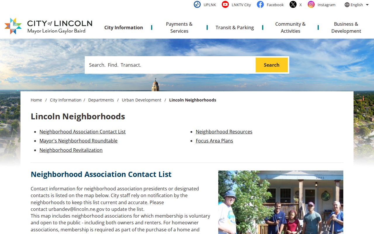
The map is a starting point for a current public contact, not a substitute for a roster or a statement about every person inside the boundary.
Lincoln Association Map Details
Lincoln's GIS service contains Neighborhood Association Contacts and Homeowner Association Contacts layers. It supports map queries and machine-readable service responses, but the public map is the practical choice for an address search because it shows the current boundary and contact material made available by the group. When the map has no usable contact, the Nebraska Secretary of State corporate search is the official fallback for an incorporated association. No complete public HOA roster is available through these channels.
The HOANA GIS service documents the association-contact layers behind that map.
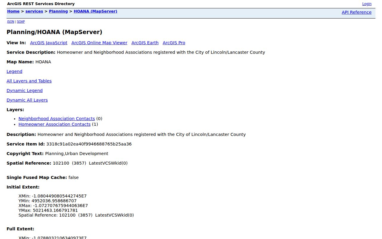
Layer availability and a boundary match do not create a public roster. They only identify the City-managed map route for a current association inquiry.
Lincoln's Mayor's Neighborhood Roundtable began in 1984 and meets on the second Monday of each month, 5:30 to 6:30 p.m., in Room 303 of the County-City Building. It connects civic groups and City government, but it is a contact layer rather than a list of neighbors.
Official Lincoln Neighbor Sources Compared
Official records and commercial neighbor-search tools answer different questions. A county parcel record is tied to a custodian, field definitions, and a date. A commercial service may combine public and brokered material from many sources. It can be stale, merge people with similar names, charge for access, or present a result without the local context needed to evaluate it. Neither category proves a complete household list.
| Source category | Strength for a Lincoln block | Key limitation |
|---|---|---|
| Official GIS and assessor records | Current parcel geography and assessed ownership fields connected by PID | Shows property administration, not every resident |
| Official deed index | Recorded transfer and encumbrance trail with legal-description references | A transaction does not establish current occupancy |
| Official voter channels | One named registration or a lawfully requested election list | Strict access, purpose, privacy, and copying limits |
| Commercial lookup category | May offer leads to verify independently | May be paid, stale, incorrectly merged, or non-authoritative |
Historic Lincoln Blocks and Addresses
Older blocks need a different record chain. Lincoln City Libraries' Local History Center holds city directories, newspapers, yearbooks, and Sanborn material. Sanborn maps cover Nebraska locations from 1883 through 1962 and show building footprints, materials, lot use, and street labels. Reverse directories can place a listed household at an address for a particular year. Neither resource is a modern block roster.
University Place adds a local continuity trap. Its streets and addresses changed in 1927 after the 1926 annexation agreement. When a historical block seems to disappear, compare the old and modern street names, the legal lot, a plat, and the GIS historic-city-limits layer. That combination can explain an address mismatch without inventing a connection between two parcels.
Privacy Limits for Lincoln Neighbors
Some information about a block is intentionally not public. Other household members, utility and delivery customers, protected voter records, Address Confidentiality Program participants, full DMV addresses, sealed juvenile matters, nonpublic police material, and internal association lists remain outside a public neighbor lookup. The Nebraska Address Confidentiality Program provides a substitute mailing address and mail forwarding for qualifying survivors.
Use public records to understand a parcel, reconnect through a lawful channel, or take part in civic life. Do not infer someone’s address from a protected record or use a boundary map to pressure a household. When a record seems inaccurate, ask the relevant custodian about correction or confidentiality procedures rather than republishing the disputed information.
Lawful use. Lincoln neighbor records are for lawful personal and civic purposes. Do not use them to stalk, harass, threaten, intimidate, or harm another person.