
Lincoln ZIP Code Directory Coverage
Lincoln ZIP code research uses local planning descriptions as a starting point, then confirms a delivery address with USPS. The local material does not provide a stable official ZIP-to-neighborhood map or precise station names for every code. The entries below are planning and research descriptions, not postal boundaries. A Lincoln mailing name can reach into county territory, and a parcel inside the city can need more than its ZIP to establish its jurisdiction.
| ZIP | Areas covered | Postal reference | Local caution |
|---|---|---|---|
| 68501 | Central or downtown PO-box and special-delivery context | Lincoln postal operations | Exact delivery geography is not exposed locally |
| 68502 | Southwest and central-south, D Street to South and 33rd to Highway 77 | Lincoln | Planning description, not a neighborhood boundary |
| 68503 | North Lincoln, O to Leighton and 40th to I-180 | Lincoln | Confirm the parcel and city line |
| 68504 | North-central, O to city limit and 56th to 27th | Lincoln | May reach the city edge |
| 68505 | East and northeast, north of O | Lincoln | Postal area, not a legal neighborhood |
| 68506 | Southeast, Pioneers to A and 33rd to 84th | Lincoln | Planning-area description only |
| 68507 | Rural northeast, north of Leighton and east of 56th | Lincoln and Havelock context | Check ZIP and city limit separately |
| 68508 | Downtown | Lincoln downtown | USPS controls the exact delivery result |
| 68510 | East and central institutional areas | Lincoln | Exact boundary was not located |
| 68512 | South Lincoln | Lincoln | City and county edge can differ |
| 68516 | Southeast and south newer-growth areas | Lincoln | Annexation context matters |
| 68517 | Northeast rural edge and new development | Lincoln | Verify with USPS and city layers |
| 68520 | Rural east Lincoln | Lincoln rural delivery | May carry a Lincoln mailing city outside city limits |
| 68522 | West and southwest, including county edge | Lincoln rural delivery | Use the assessor jurisdiction layer |
| 68523 | Southwest rural fringe | Lincoln rural delivery | ZIP address can be outside Lincoln |
| 68524 | Rural northwest and airport context | Lincoln | Current local boundary map was not located |
| 68526 | Rural southeast, Sprague, and mailing context | Lincoln | Use USPS and GIS for a specific address |
| 68527 | Northeast rural edge, Garfield context, and growth | Lincoln | Check annexation and city limits |
| 68528 | West and southwest city-county fringe | Lincoln | Delivery label can include county pockets |
Do not infer a precise station, a full neighborhood, or a city boundary from this table. The code identifies a postal delivery area. The address, parcel, and jurisdiction layer answer separate questions.
Lincoln ZIP Code Delivery Areas
The USPS ZIP Code Lookup is the address-by-address check. A full-address lookup standardizes a specific delivery address, while a city-and-state lookup returns ZIP codes associated with that city. USPS also warns that ZIP boundaries do not necessarily follow municipal boundaries. Use the returned code to guide a search, then verify the parcel's legal and municipal information separately.
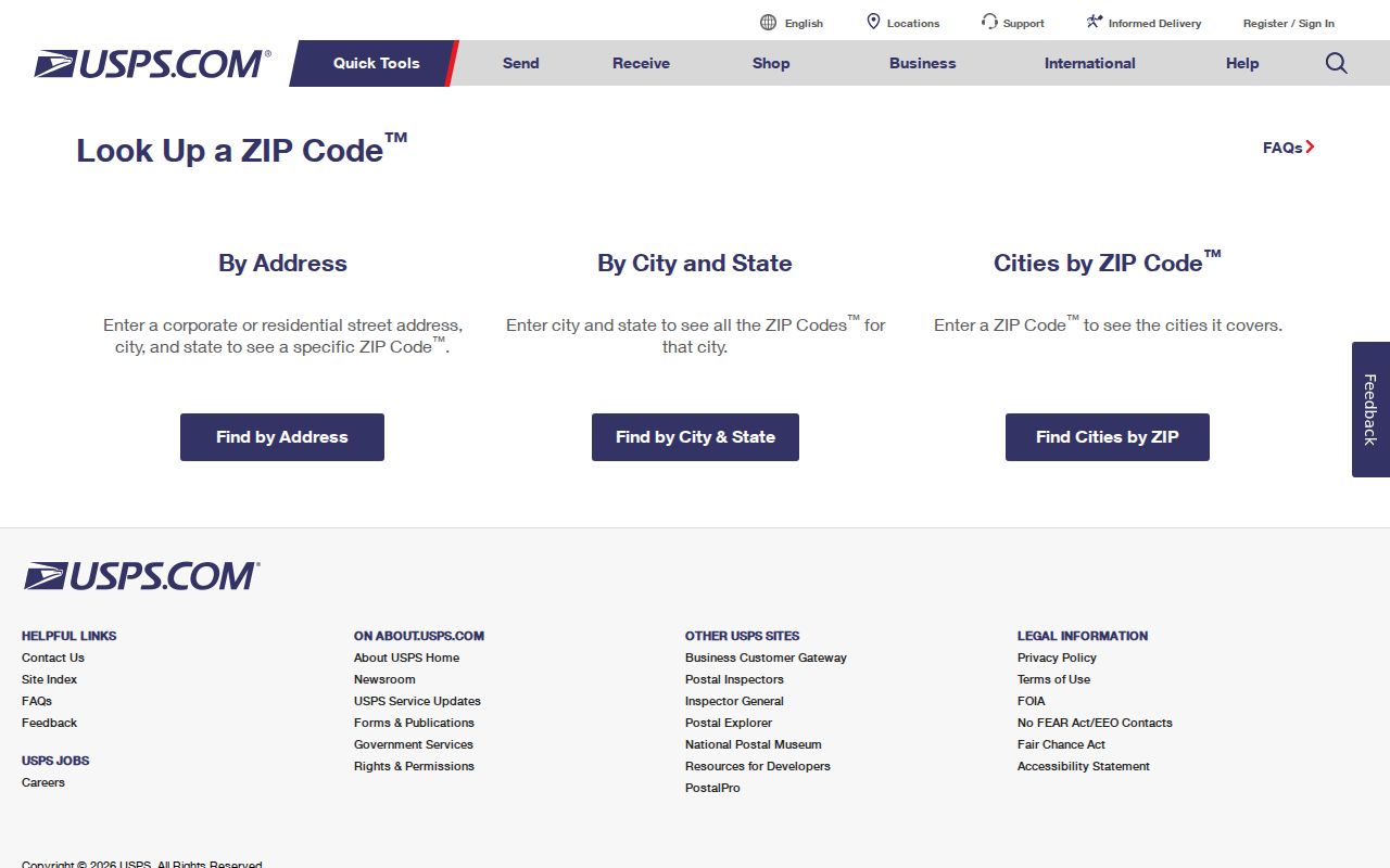
The USPS form is the right place to confirm delivery, not to decide whether a location is in the City of Lincoln or which county record custodian holds a file.
Numbered Lincoln streets require ordinal suffixes in the city's By Street. That detail can prevent a failed address query after USPS has confirmed the postal form of an address.
Lincoln ZIP Code Assessor Filter
The Lancaster Assessor's Orion search supports ZIP in Advanced Search, alongside address, owner, PID, city, neighborhood, property type, status, street name, and street-number range. It returns property records, so it is useful for locating parcels in a delivery area rather than creating a roster of residents. The official search help notes that quick searches can match a street word in a legal description, making field controls important.
Insider tip: pair the ZIP with City, a street-number range, or Property Status before reading results. That reduces false matches caused by a street word appearing in a legal description rather than in the parcel's physical address.
| Assessor field | Type | Required | ZIP research use |
|---|---|---|---|
| ZIP Code | Text | No | Filters property results to a postal area |
| City | Text or dropdown | No | Controls results near municipal edges |
| Street number From/To | Numeric pair | No | Focuses a known frontage after a ZIP filter |
| Street Name | Text | No | Returns properties on a street in Advanced Search |
| Property Status | Dropdown | No | Offers Active, Inactive, or All |
| PID | Text | No | Tests one parcel in undashed or dashed form |
Follow a result into the Lincoln GIS Viewer to inspect parcel geometry, city limits, historic limits, zoning, sales, and subdivision layers. The map is valuable at a city-county edge because a ZIP result alone does not identify jurisdiction.
Lincoln ZIP Code and VoterView
VoterView does not accept a ZIP code to browse people. Its registration search requires first name, last name, and county, and its other address tool is for polling-place information. A named record may help verify registration or polling details, but it cannot convert a ZIP into a household list. The distinction prevents a postal filter from being mistaken for an election-record search method.
Myth: a public voter register is not an unrestricted ZIP directory. A Lancaster voter-file request can seek precinct, political-subdivision, or county lists with statutory limits and an oath. Confidential and private entries remain withheld, and copied lists cannot be posted online or used commercially. Requests may be emailed, faxed, mailed, placed in a drop box, or delivered in person; the local form has a one-business-day lead time. A statewide request uses a $500 fee and annual affidavit.
Find Residents in a Lincoln ZIP Code
Start with the full address whenever possible. Postal delivery, property ownership, and current residency are different records, so each search needs a narrow purpose. A ZIP filter can shrink the parcel universe, but it should lead to a parcel or street check before a name is treated as a match.
- Confirm the address with USPS, using the full address rather than a city-only result.
- Enter the verified ZIP in Orion Advanced Search and add city, status, street, or number-range controls as needed.
- Open a matching parcel in GIS and compare its situs address, PID, legal description, jurisdiction, and mailing address.
- Use a named VoterView search only for an individual registration question, or send a lawful election-file request through the Election Commission.
Once the ZIP narrows the area to a particular street, the Lincoln by-street directory provides the more detailed address-record route.
Lincoln ZIP Code Mismatch
ZIP codes are delivery geographies, not city wards. Lincoln's rural east, west, southwest, northwest, and northeast edges can carry a Lincoln mailing reference while falling outside the municipal line. Conversely, city expansion can change services and record context without redrawing a postal label. The safe sequence is USPS for delivery, Orion and GIS for parcel and jurisdiction, and the City of Lincoln's annexation records for a change in municipal status.
City limit check. A postal code does not establish city jurisdiction. Use the parcel and city-limit layer before deciding which Lincoln or Lancaster office holds a record.
The mismatch matters for permits, planning files, tax districts, and older address references. A parcel's situs address is the physical location used by assessor and GIS systems. Its mailing address is where tax correspondence goes and can be outside Lincoln. A legal description, such as lot and block or section and range, is the more durable link across changes in street labels.
Lincoln ZIP Code History
Historic communities add a second geography check. University Place agreed to annexation in 1926 and changed street names and addresses in 1927. College View was annexed in 1930. Havelock and College View began as independent community contexts, so a historical directory, deed, or map may use a place label that does not line up neatly with a current Lincoln ZIP. The University Place planning record and historic city-limit layers help bridge that difference.
For an old address, compare the old and current street name, the legal lot or PID, the annexation date, and the postal result. Do not assume a current code proves that the address had the same city label in a historical record.
Lincoln ZIP Code Directory Terms
Postal and parcel terms often look alike but do different work in a record search. Keeping them separate helps avoid false matches at the edge of Lincoln or in an old address trail.
- ZIP and ZIP+4
- A ZIP identifies a delivery area; ZIP+4 adds a more specific delivery segment within it.
- PO-box ZIP
- A code used for post-office boxes or special postal handling, not a map of nearby residences.
- Unique ZIP
- A ZIP assigned for a single organization or address arrangement; local assignment should be verified with USPS.
- Carrier route
- A postal delivery sequence used for mail operations, distinct from city limits, a precinct, or a neighborhood.
Use the postal term for delivery questions, then shift to the PID, situs, legal description, and jurisdiction layer for a Lincoln property-record question.
Lincoln research does not provide a stable official ZIP-to-neighborhood table or a complete station list for every local ZIP. That is a useful limit, not a gap to fill by guesswork. A postal result should remain a delivery fact. For a neighborhood boundary, use the city map or neighborhood-association layer. For city status, use the GIS jurisdiction layers. For an earlier address, compare the street-name history and the legal description before assigning it to a present-day ZIP code area.